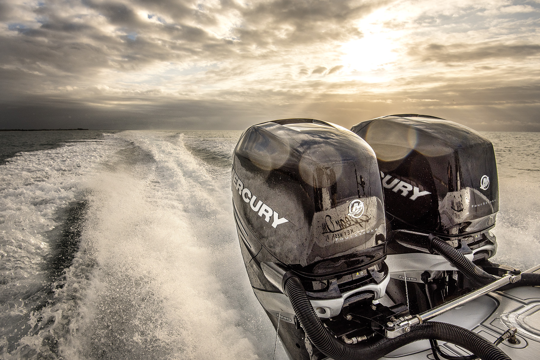


Tom Rowland Podcast visit Website HERE
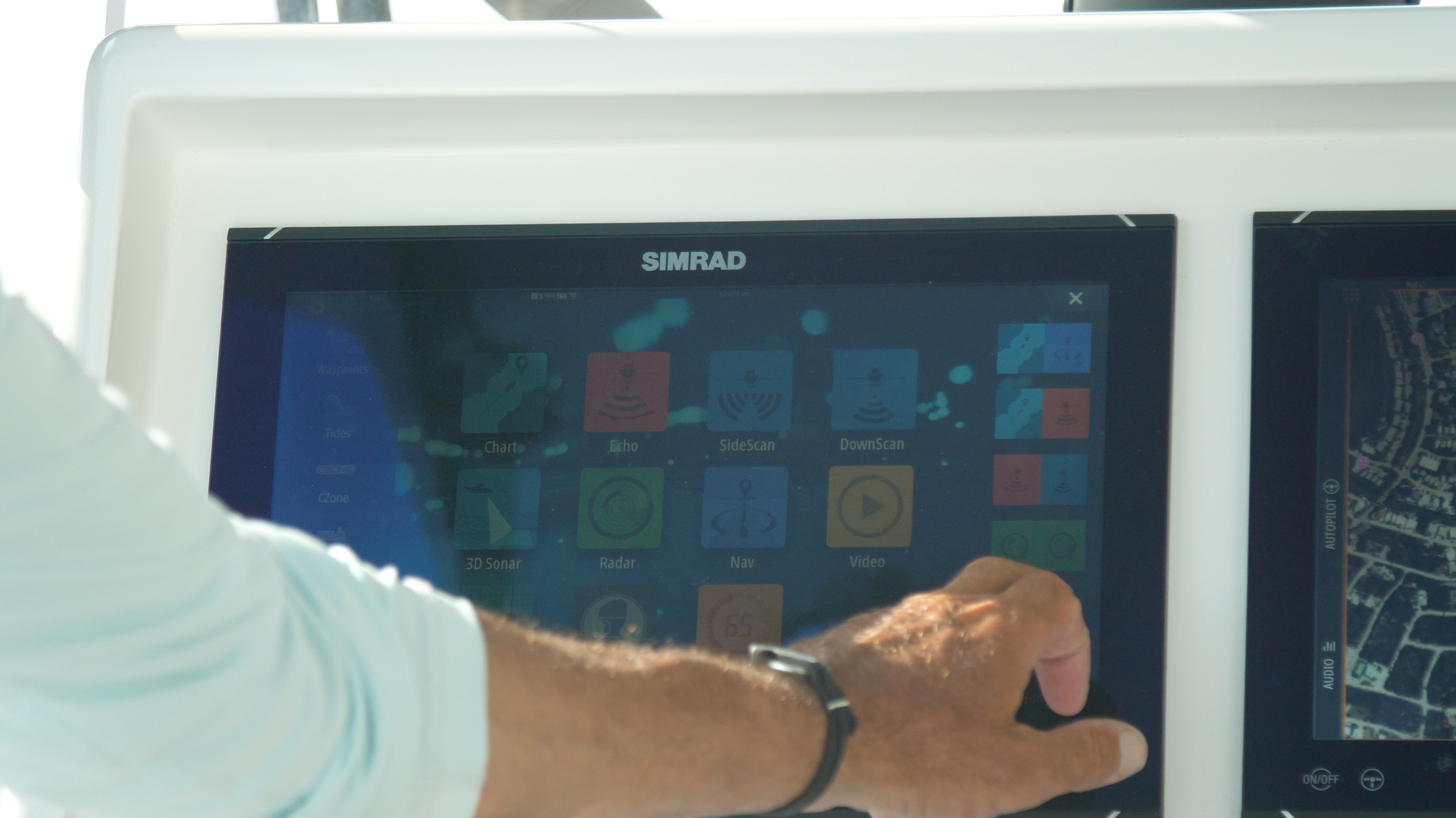
When you buy your Simrad unit, it's going to come pre-loaded with the entire navigation of the United States - east and west coast including Great Lakes - but it's kind of basic. If you want to enhance that map you can use C-Map and C-Map reveal. I highly recommend you get this chip once your Simrad is installed.
It's going to take this basic map, which is great for navigating and it's going to enhance it for the area your at with bottom structure, grass beds and it's going to overlay Google Earth. You can pre look at a destination just sitting on your boat before you leave the dock. If you run into the Bahamas I can look at the dock in the Bahamas where I'm headed before I get there.
I've got the chip installed in my chart reader and now we're just going to switch charts. So we're going to go to the menu. And I've got C-Map U.S. enhanced which comes with your unit and we're going to switch it to see map reveal. Bam! Now I have the entire island of Duck Key grass beds the coral heads the deeper channels right there. I can pick a rock. I can navigate right to it and check and see if there are any mangroves on it or I can jump in and see if there are lobsters. It's that simple and this coverage is growing every day Key West, Miami, Charleston the up to the Mid-Atlantic, the Canyons find the area where you live get that chart and it's going to make your Simrad day that much better.
Now that we've got Duck Key all navigated, you see my path in and out. This is a this is not a navigable channel, but it's local knowledge. C-Map is going to show me all the coral heads on the reef if I know where they are. That's where I'm headed. If I want to just sit here for a few minutes the game plan around weather conditions. I'm gonna sit here right now find an interesting looking place that I've never been before and we'll give it a try. I've got my numbers where I know they're going to be some fish but every day I try to find a new one and using the revealed chart.
I'm going to go to find a new rock to investigate decide whether it goes on to my full-time arsenal of great spots. It's that simple just sit at the dock check out your chart. Check out something new get on the water and see if it works for you.
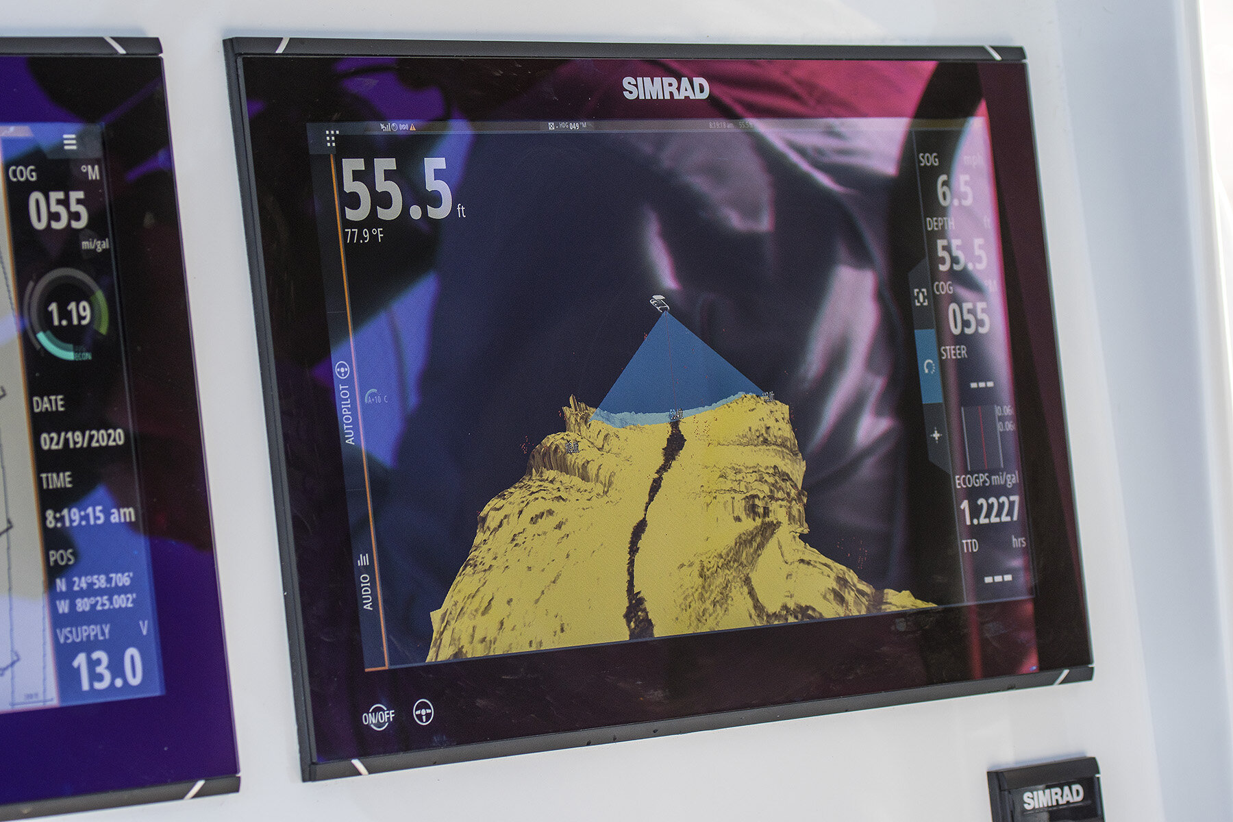
All you have to do is go right into your menu again and go to options and chart options. I want to see high-resolution bathymetrics and will click on that button. It's going to take away some of my navigation options, but then when I zoom out to the swordfish grounds the detail is going to just become stronger and stronger on the drop-offs. Now, I can see I got my 1682 mm. I like swordfishing anywhere from 1500 to 1800 and now it's all right there for me to choose what spot I want to fish on that day.
So that's just a click of one button back to menu hide high-resolution bath metrics turn it off and it's just a lump in the middle of the screen. You want more detail, turn on that bathymetrics. It'll take away a little bit of information inshore, but you're not inshore anymore. You're outside looking for fish and checking all these humps finding the high spots. That is a real click of a button menu high-res bathymetrics on and off. You would never know that that's where you should start looking to try to bottom fish but simple as hitting that button zooming in and now you're a better fisherman.